GEOBIM

- Title:
-
GEOBIM, BIM integrated Geo hazard monitoring of at risk slopes and historical retaining structures
- Start Date:
-
July 2021
- End Date:
-
July 2022
- Funding Body:
-
Geological Survey Ireland
- Coordinator:
- Project Partners:
-
Cork County Council
- Principal Investigators:
Introduction
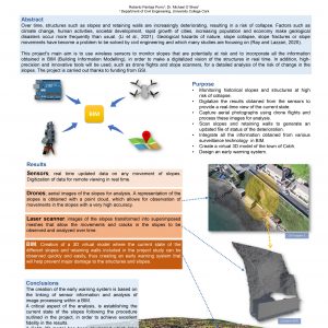
This project will investigate the potential of combining Building Information Modelling (BIM) with real-time geotechnical monitoring to provide a valuable tool for assessing geohazards, in particular soil slopes and historic retaining structures. The focus will be on creating a single virtual platform that contains historical, geometrical and geotechnical live data of identified geo-hazards in the Cobh area in Co Cork, an urban area severely impacted by geohazards.
Photo Gallery


