ShoreCam

- Title
-
Linking ocean model predictions with coastal impacts using a low cost, time-lapse camera shoreline monitoring system
- Start Date
-
December 2020
- End Date
-
January 2022
- Coordinator
- Principal Investigators
-
Dr Stephen Nash (MaREI@NUI Galway)
Dr Eugene Farrell (Geography, NUI Galway)
Sheena Fennel (Earth & Oceanography, NUI Galway)
- Funding Body
- Research Areas
-
Coastal and Marine Processes, Climate Change.
Introduction
There is an urgent need to increase our understanding of coastal change so that that we can better protect coastal communities and ecology, particularly in light of future climate change. Rather than simply understanding rates of coastal change we need to better understand the linkages between coastal change and environmental drivers such as storms.
Aims
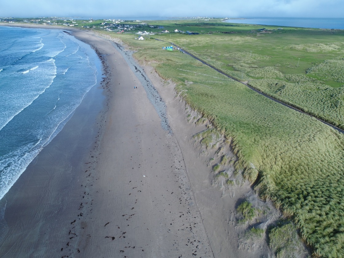
This project aims to establish, test and validate a low-cost shoreline monitoring system using fixed, time-lapse cameras at a test site -Brandon Bay, Co. Kerry. Images will be captured at high frequency (every 10 mins) over 10 months and analysed to determine wave run-up and shoreline elevation changes. The monitoring will be supplemented by shoreline surveys before and after high-intensity storm events.
Collaborations
Wave data measured by a wave rider deployed as part of another MaREI project will be used to explore the linkages between storm-induced waves and shoreline erosion and the observed rates of shoreline change will be used to calibrate and validate a coupled tide-wave-morphological modelling system that is under development in another MaREI PhD project. Between the three projects, we hope to determine current and future rates of shoreline change as well as improving our understanding of the critical drivers of shoreline change in the study area.


